Book your holiday for 2026 now to get the special discounted offer.
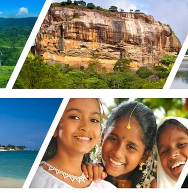
Best Sri Lanka Tour Packages, Holidays & Safari Deals
Craft your tailor-made Sri Lanka holiday with local experts. Trusted, licensed tours, 24/7 support, and custom itineraries for couples, families, and groups. Book your dream trip now!
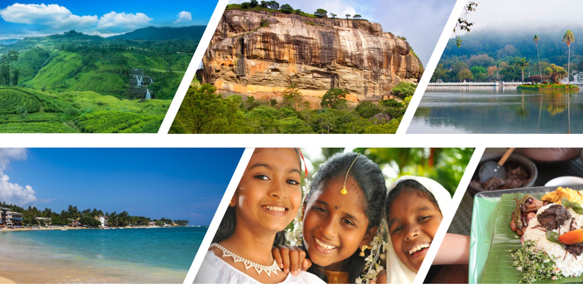
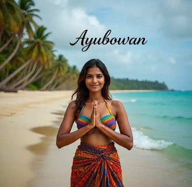
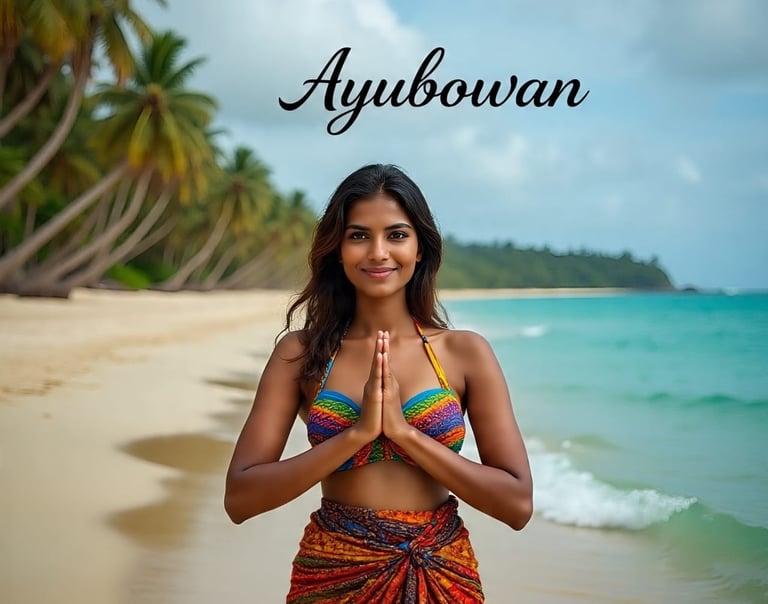
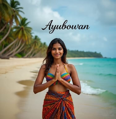
Experience the magic of Sri Lanka from golden beaches to misty mountains with expertly crafted inbound tours, cultural adventures, and wildlife safaris designed just for you.
As a trusted Sri Lanka travel agency, Lanka Holiday Guide offers tailor-made Sri Lanka tour packages for couples, families, and groups. Whether you seek luxury private tours, budget-friendly packages, or custom itineraries, we make your Sri Lankan holiday unforgettable.
Why get your Sri Lanka tour packages from Lanka Holiday Guide (Pvt) Ltd.
Your Trusted Sri Lanka Tour Operator
At Lanka Holiday Guide (Pvt) Ltd, we’re more than a travel and tour company; we’re passionate locals who love sharing the beauty of our island. With years of experience as a trusted Sri Lanka traevl and tour operator, we craft personalised holiday experiences that let you explore the real Sri Lanka — safely, comfortably, and joyfully.
What Makes Lanka Holiday Guide (Pvt) Ltd Different
1. Expertly Crafted Tour Packages
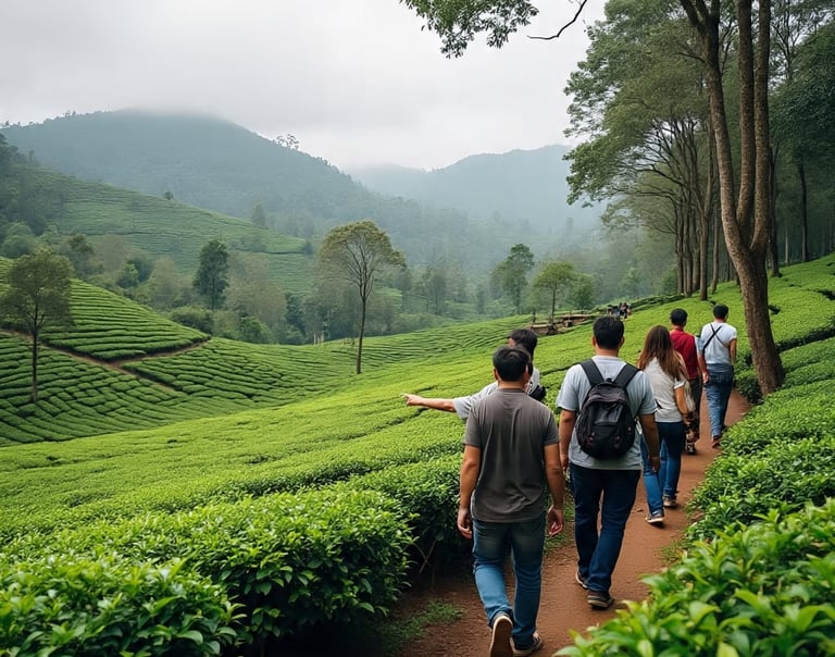
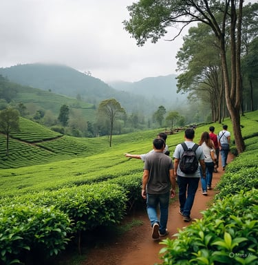
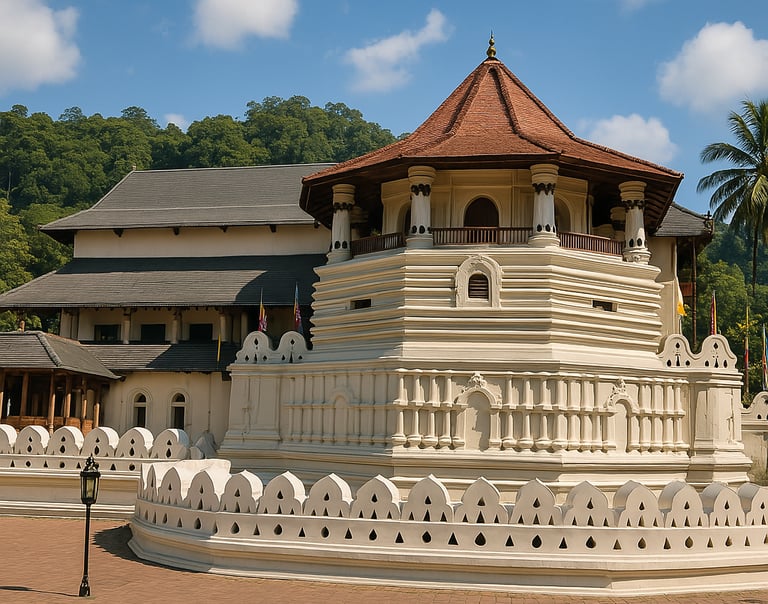
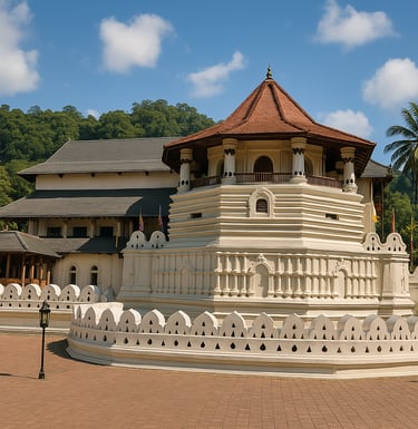
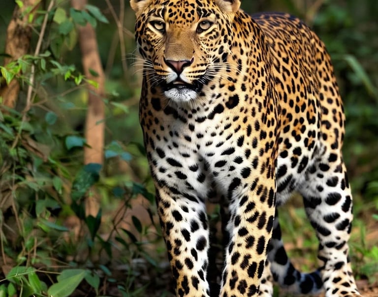
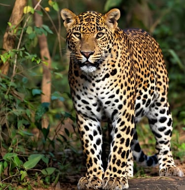
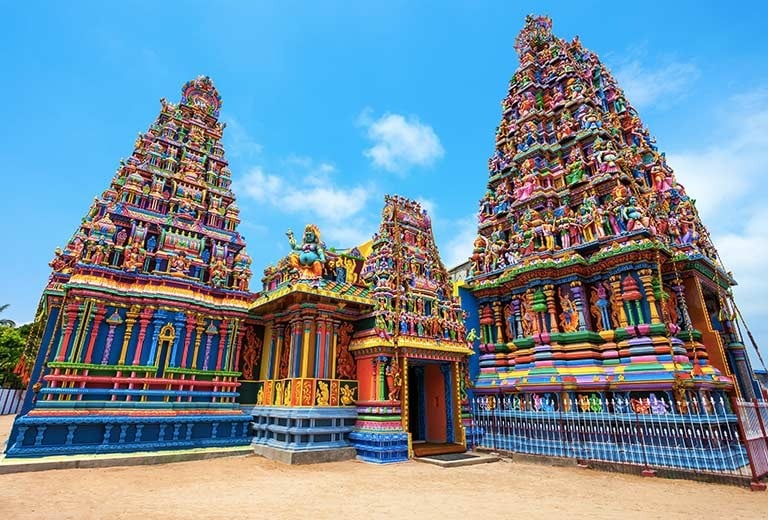
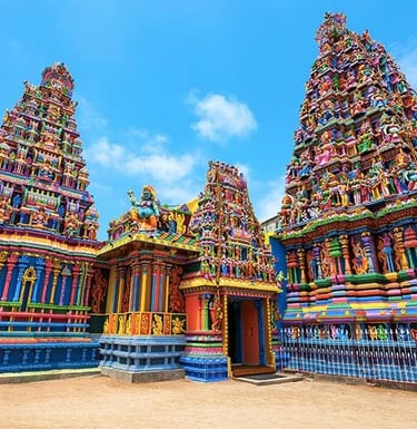
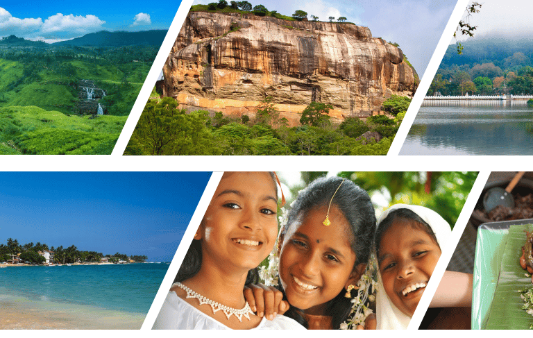
From cultural tours in Kandy to beach holidays in Bentota and wildlife safaris in Yala, our Sri Lanka tour packages are designed to suit every traveller’s dream.
2. 100% Tailor-Made Holidays
Every journey is built around your preferences — hotels, destinations, activities, and pace — so you get a custom Sri Lanka tour made just for you.
3. Trusted & Licensed Travel Agency
We have been a registered Sri Lankan travel company since 2013, recognised for reliability, transparent pricing, and exceptional service from arrival to departure.
4. Local Expertise, Global Standards
We ensure that all our guides are approved by the Sri Lanka Tourist Board and that they are professionals with modern vehicles, and that every tour meets Sri Lanka's international safety and comfort standards.
5. 24/7 On-Ground Support
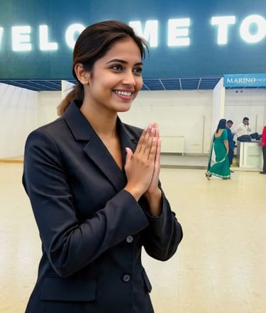
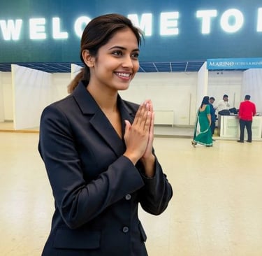
Travel worry-free knowing our local team is always available to assist from airport pickup to your final farewell.
Popular Sri Lanka Tour Packages
Uncover the Best of Sri Lanka — One Journey at a Time
From ancient cities and golden beaches to misty hills and lush jungles, our most popular Sri Lanka holiday packages are designed to help you experience the very best our island has to offer. Each itinerary is customizable — travel at your own pace, in comfort, with our local expert guides.
Custom Private Tour — You Dream, We Design
Can’t find what you’re looking for? Let us craft a tailor-made Sri Lanka tour just for you. Choose your destinations, hotels, and experiences — and we’ll handle the rest.
Plan Your Dream Sri Lanka Trip in 4 Easy Steps
1️⃣ Tell Us Your Travel Dream
Share your travel dates, interests, and budget — whether it’s beaches, culture, adventure, or relaxation.
We’ll help you design the perfect Sri Lanka tour itinerary that fits your style.
👉 Use our quick [Tour Inquiry Form] or chat with our travel experts on WhatsApp.
2️⃣ Get Your Custom Itinerary
Our team of local travel specialists will send you a personalized Sri Lanka holiday package with suggested routes, hotels, and experiences — all tailored to your preferences.
💡 Each itinerary is flexible — you can modify it until it’s perfect!
3️⃣ Confirm & Book Securely
Once you’re happy, confirm your booking with a safe online payment or bank transfer.
We’ll handle all arrangements — hotels, transfers, guides, and activities.
🔒 Book confidently — we’re a licensed Sri Lanka tour company with years of experience.
4️⃣ Enjoy a Worry-Free Holiday
Arrive in Sri Lanka and relax — our team will greet you at the airport and ensure your trip goes smoothly from start to finish.
Enjoy your Sri Lanka vacation knowing you’re in trusted local hands.
🌿 24/7 support throughout your journey.
Ready to Start Your Journey?
Let’s turn your dream holiday into reality.
👉 Chat with us on WhatsApp
Choose from our carefully crafted tour packages and explore the best of Sri Lanka or tell us your requirements, budget and we would tailer make the package for you.
Our day tours in Colombo, Kandy and Nuwara Eliya are immensely popular among tourists.
Book a comfortable stay in top hotels and guest housed across Sri Lanka. We have teamed up with hotels, guest houses in Sri Lanka to give you the best offers.
We are also flexible to make your booking through Booking.com to get last-minute offers and when there are exclusive discounts.


From the time of arrival to your departure, we can take care of your transport requirements. Our Drivers are experienced and most of whom hold the guide license.
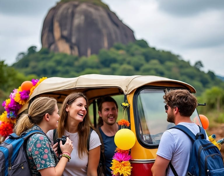
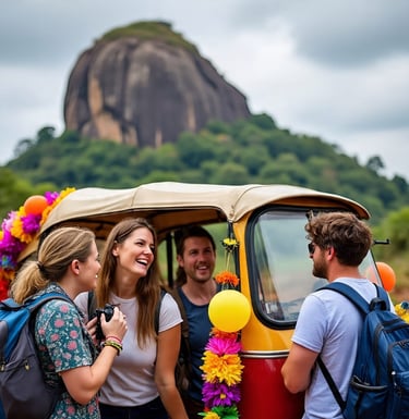
If you are looking to rent a car, motorbike, or three-wheeler(Tuk-Tuk) we can arrange it for you.
Our Services
Contact us
Inquire or book services, fill out form